For months, scientists have been watching the Pacific Ocean with increasing attention. Thousands of kilometers away from crowded cities and farm fields, a silent shift has been developing beneath the ocean surface. Satellites, weather models, and ocean-monitoring buoys have detected warming patterns that forecasters believe could signal the return of one of Earth’s most powerful climate phenomena: El Niño.
For many people, El Niño is simply associated with hotter days and dry weather. But climate experts see it differently. They see a global force capable of reshaping rainfall patterns, intensifying heat waves, disrupting agriculture, affecting food prices, and altering weather systems across continents.
As 2026 progresses, climate agencies around the world are becoming increasingly confident that El Niño may soon emerge. Yet one major question remains unanswered: how strong will it become?
A Familiar Climate Giant Returns
El Niño is part of a larger climate system known as the El Niño–Southern Oscillation (ENSO), a natural cycle involving changes in ocean temperatures and atmospheric conditions across the tropical Pacific.
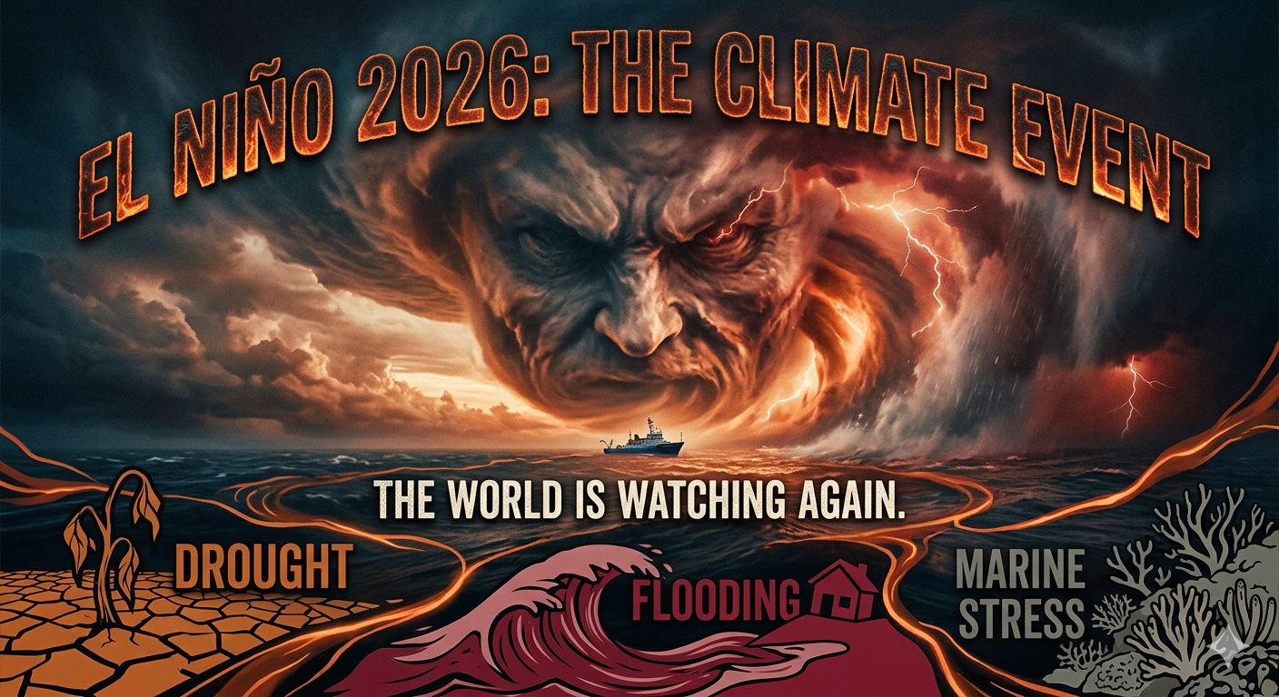
During El Niño events, waters in the central and eastern equatorial Pacific become warmer than average. That warming affects atmospheric circulation and shifts global weather patterns. Some regions experience severe drought, while others see heavier rains and flooding.
This phenomenon is not new. Humanity has experienced El Niño for centuries. Historically, some of the strongest events have left profound social and economic impacts across the world. Agriculture, water supply, public health, energy production, and disaster management systems can all feel its effects.
But 2026 is attracting unusual attention because scientists are seeing climate signals that suggest El Niño could develop at a time when global temperatures are already near historic highs.

What Scientists Are Seeing in the Pacific in 2026
Before El Niño develops, the Pacific usually enters a neutral state where neither El Niño nor La Niña dominates.
That is exactly where conditions stand today.
Following the end of a recent La Niña episode in March 2026, forecasters observed a return to ENSO-neutral conditions. However, beneath the ocean surface, changes are already underway. Large pools of warmer-than-normal water have begun moving eastward beneath the Pacific, one of the early signs scientists monitor closely. (PAGASA)
The warming occurring below the surface is especially important because subsurface heat often acts as fuel for future El Niño development.
Climate agencies have become more confident over recent weeks that the Pacific is transitioning toward an El Niño state.
The latest assessment from the U.S. Climate Prediction Center now places the probability of El Niño development between May and July 2026 at 82%. Forecasts further suggest a 96% chance that it could continue into the Northern Hemisphere winter of 2026–2027.
Meanwhile, weather authorities in the Philippines have also observed a similar trend.
According to PAGASA, neutral conditions are expected to persist through early mid-year, but forecast models increasingly suggest El Niño conditions may emerge beginning around the July–August–September season.
Why Predicting El Niño Remains Difficult
Despite sophisticated technology, forecasting El Niño remains one of climate science’s most difficult tasks.
Scientists are not simply measuring ocean temperatures. They must also understand interactions among:
- Trade winds
- Atmospheric pressure systems
- Deep-ocean heat movement
- Surface temperatures
- Tropical weather patterns
A small shift in winds across the Pacific can dramatically alter ocean behavior.
Warm water beneath the surface may strengthen and emerge, or atmospheric changes could weaken the process.
That uncertainty explains why experts remain cautious.
Current forecasts strongly support El Niño formation, but there is less agreement regarding intensity. Some models suggest a moderate event; others indicate the possibility of a much stronger one.
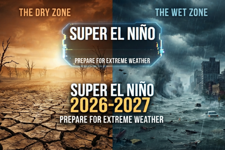
The Growing Discussion Around a Possible “Super El Niño”
Recent forecasts and media reports have generated growing discussion around a possible “Super El Niño.”
The term generally refers to exceptionally powerful El Niño events similar to those seen during:
- 1982–1983
- 1997–1998
- 2015–2016
These episodes produced severe droughts, crop failures, floods, coral bleaching events, and major economic losses worldwide.
Some newer climate models suggest ocean temperatures later in 2026 could rise to unusually high levels. A few projections even indicate temperature anomalies that exceed previous historic events.
However, scientists continue urging caution.
A “Super El Niño” is not an official forecasting category, and forecasts remain uncertain. Several researchers warn against treating worst-case model projections as guarantees. Current evidence indicates rising risk—but not certainty.
Lessons From History
The strongest El Niño events of the modern era provide reminders of what these climate shifts can do.
The 1997–1998 El Niño triggered extensive drought in Southeast Asia while causing flooding in parts of the Americas.
The 2015–2016 event became one of the hottest years ever recorded globally.
Some historical analyses also point to the devastating 1877–1878 El Niño, which contributed to prolonged drought and famine affecting millions worldwide.
Today, scientists argue that humanity possesses advantages previous generations lacked:
- Satellite monitoring
- Ocean buoy networks
- Advanced forecasting systems
- High-performance climate models
- International climate coordination
Still, improved forecasting does not eliminate vulnerability.
Preparedness may reduce disaster impacts, but it cannot prevent climate disruptions entirely.
What El Niño Could Mean for the Philippines
For the Philippines, El Niño is never merely a scientific discussion.
It has immediate implications for daily life.
Past El Niño episodes have often brought:
- Reduced rainfall
- Longer dry periods
- Water shortages
- Increased heat stress
- Agricultural damage
- Higher risk of drought
Because the Philippines depends heavily on rainfall for agriculture and water resources, prolonged dry conditions can quickly create challenges.
Agriculture at the Frontline
Farmers are usually among the first sectors affected.
Rice and corn production become particularly vulnerable during prolonged periods of below-normal rainfall.
Reduced harvests can create broader consequences:
- Higher food prices
- Lower farmer incomes
- Supply disruptions
- Increased import dependence
Concerns have already emerged about potential drought impacts if El Niño conditions intensify later this year.
Water Systems Under Pressure
Reservoirs become another area of concern.
Lower rainfall may reduce water levels in dams used for:
- Drinking water
- Irrigation
- Hydroelectric power
Recent reports already noted declining levels in key Philippine reservoirs, adding concern among forecasters monitoring future drought conditions.
Heat Risks for Communities
Even before El Niño formally arrives, heat has already become a major concern.
In early May 2026, PAGASA recorded multiple areas experiencing dangerous heat index levels.
El Niño conditions can amplify already warm temperatures and increase risks associated with:
- Heat exhaustion
- Heat stroke
- Reduced labor productivity
- Public health stress
El Niño in a Warming World
One reason climate scientists are especially concerned today is that El Niño no longer occurs in the same world it once did.
Global temperatures are already elevated because of long-term climate warming.
As a result, El Niño can operate on top of a warmer baseline climate.
This interaction may amplify:
- Heat waves
- Coral bleaching
- Marine ecosystem stress
- Drought intensity
- Extreme weather events
Researchers warn that future El Niño episodes may unfold differently than those of previous decades because climate change adds another layer of complexity.
Waiting for the Pacific’s Next Move
The Pacific Ocean has not yet fully declared its intentions.
Scientists remain confident that El Niño is increasingly likely in 2026, but confidence drops sharply when predicting how powerful it may become.
For now, researchers continue monitoring ocean temperatures week after week, watching for changes in winds and signs that the atmosphere is beginning to align with warming seas.
The world’s next climate chapter may already be forming beneath the Pacific surface.
And if history has shown anything, it is that the consequences of El Niño rarely stay in the ocean where they begin.